Route 15 - La Ronde des Puys
Add to my favorites

Route opened

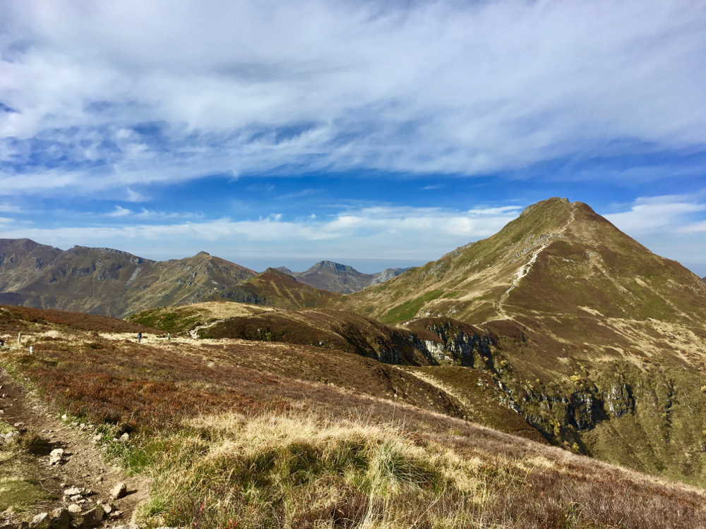
This very complete loop, allows you to make the tour of the upstream part of the Jordanne Valley, passing by the Puy Mary. You will enjoy exceptional landascapes with eleven kilometers made in crest. The last part in the woods contrasts with the rest of the alpine route.
Warning: The length of the route and several technical passages make this route difficult. It is recomanded for experienced runners. The passage of Brêche de Rolland (km10.8) can be avoided by taking the route variant via the Col d'Eylac.
The characteristics of the route.

Mandailles-Saint-Julien (15)
- Distance 23.7 km
- Elevation gain 1360 m
- Elevation lost 1360 m
- Min. elevation 919 m
- Max. elevation. 1780 m
- Duration (depending on pace) 3h40 à 7h
- Marking 15 red
The last times
BenoitA19
finished in 03:04:47
The 2023/08/29
En savoir plus
Luboucas
finished in 03:52:33
The 2022/07/12
En savoir plus
Mat63340
finished in 03:57:22
The 2021/10/08
En savoir plus
Jojopod
finished in 04:30:00
The 2021/07/16
En savoir plus
Voir tous les chronos
Services nearby

Gîte d'étape et de séjour Vert Azur
Mandailles-Saint-Julien

Maison de Site of Mandailles-Saint-Julien
Mandailles-Saint-Julien

Camper-vans service areas and Campsites
Mandailles-Saint-Julien

Guest house “THE FOUR SEASONS”
Mandailles-Saint-Julien

Aux Genêts d'Or
Mandailles-Saint-Julien
OK
Annuler


