Route 51 - La Croix du Gendarme
Add to my favorites

Route opened
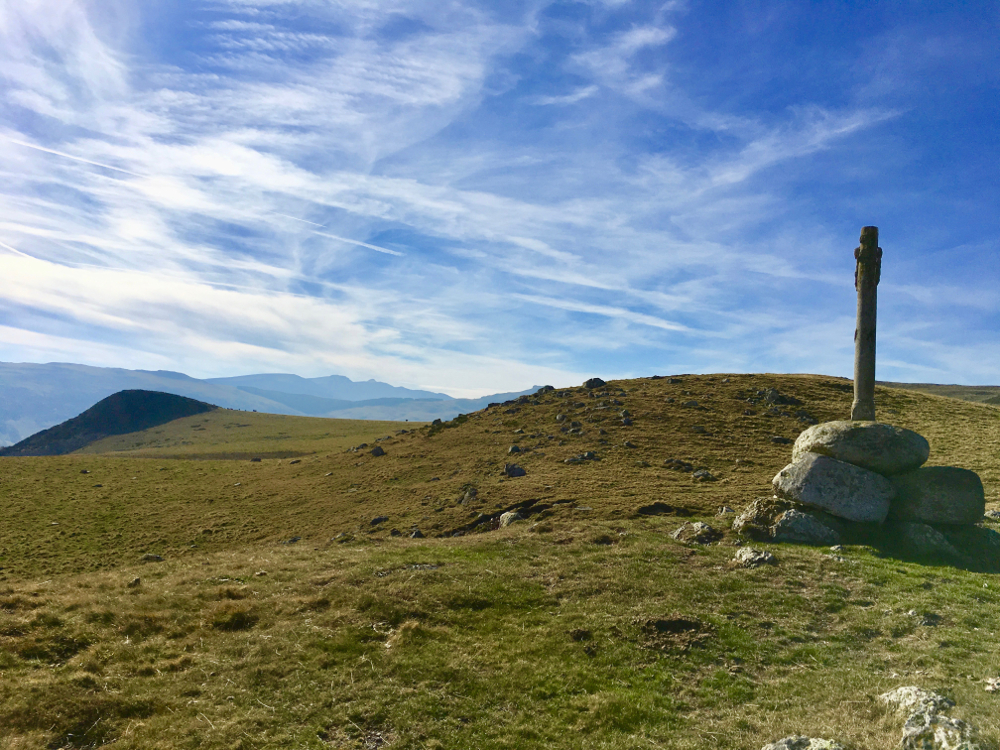
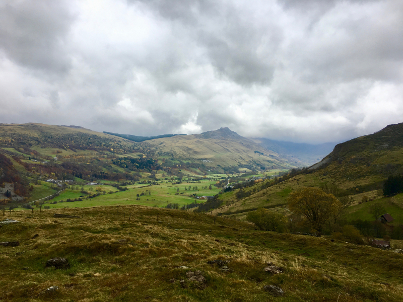
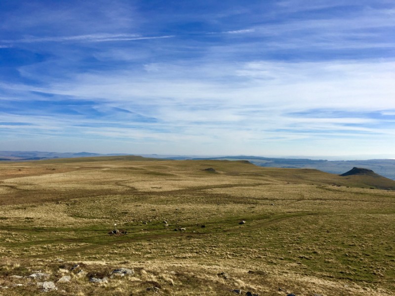
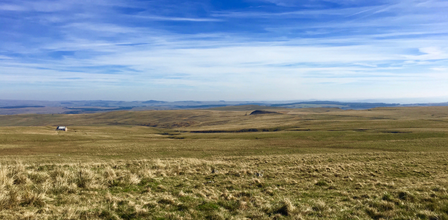
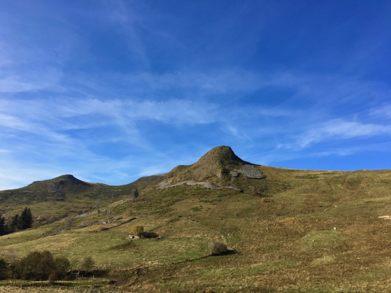
This easy level route will take you to the Limon plateau and the Croix du Gendarme from where you will enjoy a breathtaking view of the valley of Santoire and the Rock of Laqueille. You will discover the historical path of Quiroux, which allowed the inhabitants of Cheylade and Claux to connect Dienne to pay their taxes. The cairns along this path every 20m avoided the travelers to get lost in bad weather.
The characteristics of the route.

Dienne (15)
- Distance 8.51 km
- Elevation gain 390 m
- Elevation lost 390 m
- Min. elevation 1055 m
- Max. elevation. 1407 m
- Duration (depending on pace) 1h à 2h
- Suivre le balisage 51 green

Cyril15
finished in 10:22:00
The 2018/05/19
En savoir plus
Ajouter votre chrono et partager vos sensations
2018/05/19 10:22:00
Cyril15
Cyril15
2018/05/19 10:22:00
Cyril15
Cyril15
Services nearby

Maison de Site of Dienne
Dienne

B&B Monts et Délices
Dienne

Terres2Cimes (prestataire)
Dienne
Château de la Cheyrelle
Dienne

Tible René
Dienne


Follow us on
the digital trails
the digital trails


![]()
 Puy Mary Espace Trail - Parcours - Route 51 - La Croix du Gendarme
Hello, world! This is a toast message.
Puy Mary Espace Trail - Parcours - Route 51 - La Croix du Gendarme
Hello, world! This is a toast message.
Puy Mary Espace Trail - Parcours - Route 51 - La Croix du Gendarme
Hello, world! This is a toast message.


OK
Annuler